By clicking on the link below you will be opening up an interactive public map where you can view tree distribution maps of the High Desert and beyond. You will be utilizing a software published by Environmental Systems Research Institute (ESRI). You can toggle on and off layers of each tree species. It is managed by a Geographic Information System (GIS) software by ESRI. Click on the Content tab to show all the conifer species that can be viewed. Caution: ESRI is retiring the older version of their Map software. Some maps will not load properly. I plan to update the links soon.
ArcGIS Online Map of High Desert Conifers (updated 1/19/2021)
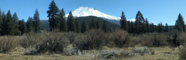
The link below will direct you to another ArcGIS Online interactive map of Conifers of Nevada. The data was collected by David Charlet. It shows actual specific, point locations of conifers observed or collected. By clicking on the conifer points you will see data about the elevation and location. I assisted in some of the data gathering and GIS assistance for his two efforts published in his two books:
- Conifers of Nevada
- Nevada Mountains
Interactive Map of Nevada Conifers
The last link show a map of Wilderness Areas and the conifers that occur in them: